Difficulty
Medium
Surface
Compact sand
Degree of accessibility
Not accessible
Kilometres
37
Elevation difference
0,5%

Max. altitude
241 m
(Pla de Martís)

Min. altitude
70 m
(Girona)
Weather forecast
Today, Tuesday, Banyoles

Clouds
6 km/h
25ºC Max.
15ºC Min.
15:00 h
1.76 mm

Wednesday
24ºC Max.
13ºC Min.
Thursday
18ºC Max.
11ºC Min.
Friday
23ºC Max.
11ºC Min.
Saturday
25ºC Max.
16ºC Min.
Rules and recomendations
 Emergency telephone: 112
 Wear a helmet
 Ride to your right
 Keep your dog on a leash
 Use the bins
 Do not occupy the entire road
 Have you detected any incidence? ?
If you have detected any incidence on the routes, you can notify us throught incidence report platform
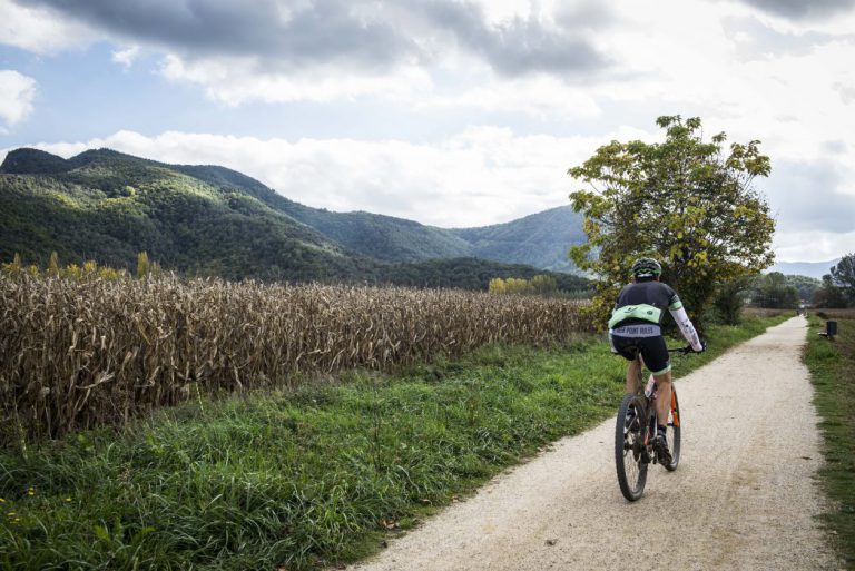
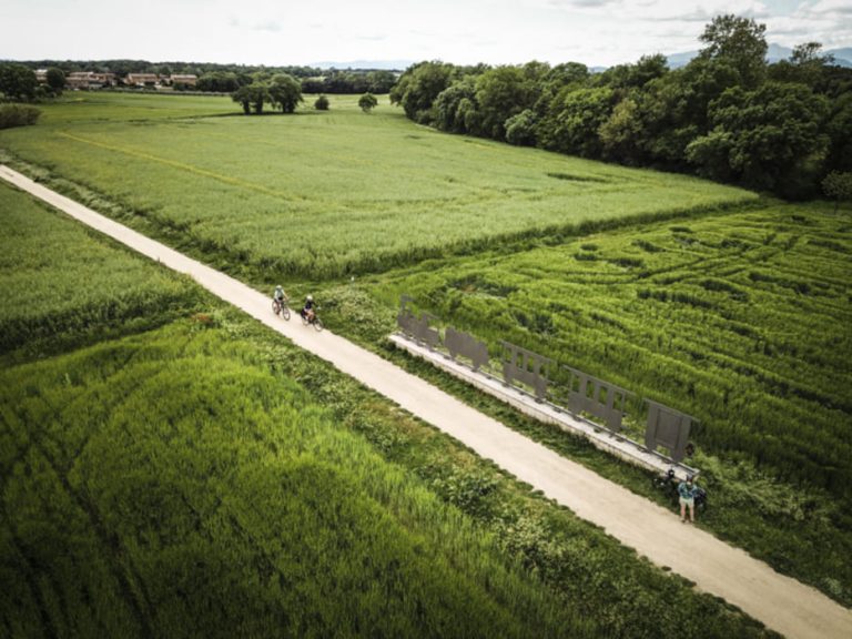
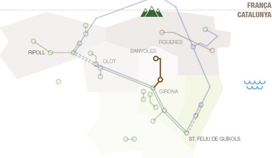
Notify an incidenceThe route brings us up close to landscapes with unique natural elements, and is largely included in the Estany de Banyoles Natural Interest Area. It crosses an important water area. In the initial section it follows the Ter, then the Terri river, borders the Estany de Banyoles and brings us near the Clot d'Espolla (a temporary flood pond) and to the agricultural and forestry area of the Pla d'Usall. The Pla de l'Estany route is inspired by the old train route that started from Palamós and linked to Girona and Banyoles. The second part of the route was used by the train known as the Pinxo, very popular among locals. The current route recovers some parts of the train track, and much of it is new tracks close to the old ones, now beneath the asphalt of the C-66. This route also connects with sections of the Carrilet I Route (Girona-Olot) and the Carrilet II Route (Girona - Sant Feliu de Guíxols).
How to get there

RENFE
Barcelona – Portbou (Girona Station)
Pl. Espanya, s/n – 17002 Girona
Ticket reservation: tel. 902 24 02 02
www.renfe.com

TEISA
Tel. +34 972 204 868
www.teisa-bus.com

HIGHWAYS
Highway AP7
www.mobilitat.net
GIRONA-COSTA BRAVA AIRPORT
Tourist Office: Tel. 972 18 67 08
Flight Information: Tel. 972 18 66 00
ot.aerogirona.ctc@gencat.net
www.aena.es
Ryanair bus from the airport to bus station in Girona.